
Plat-to-lots KMZ
Lots, blocks, streets, and easement lines shown on the plats you supply, labeled and in toggleable folders.
Johnny Dawson · EarthKMZ
Layered KML/KMZ maps for land, parcels, leases, and sales territories, built from plats, public parcel data, and your tract lists. You send the records. I turn them into a clean map anyone can open on a laptop or phone.
Services
Each project is a Google Earth KML/KMZ you can open, share, and explore, plus the source files and a plain-English read-me.
Lots, blocks, streets, and easement lines shown on the plats you supply, labeled and in toggleable folders.
Pins, approximate outlines from public, no-login parcel layers, approximate acreage calculated from the drawing (not a survey figure), and match notes for each property.
Positions keyed to your tract list and shown on public PLSS section outlines, for planning and visualization, not for title work. I don't plot tracts from written legal descriptions.
Color-coded territories with toggleable layers, routes, and labeled stops for field teams.
Placemarks and paths from your addresses or coordinates, styled and organized on aerial imagery.
Lightweight versions that load fast on phones and tablets, for walking a property or a route.
Messy files tidied up: consistent styles, clean folders, fixed labels, batch restyling.
A plain-English read-me listing every source, the layer terms of use, and the access date.
Sample work
Look-only previews (watermarked, reduced resolution). They are not working map files, and not for use as a property map or a legal description. Some use fictional listings, routes, or territories. Finished KMZ files are delivered to the paying client. See the disclaimer.
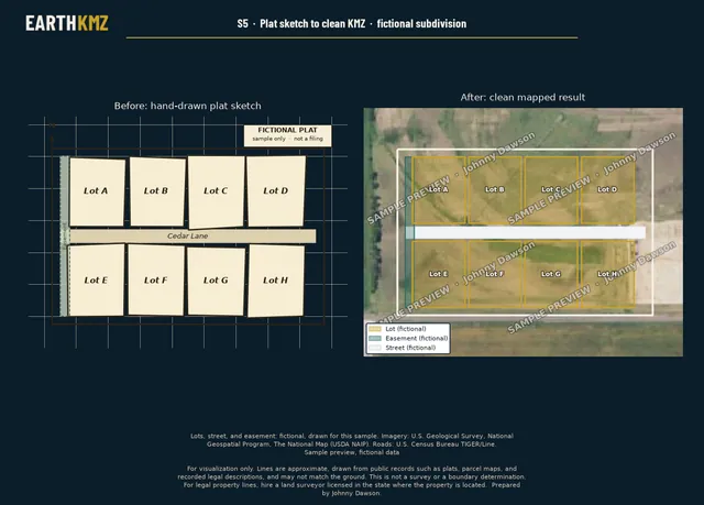
A fictional eight-lot subdivision, from rough sketch to labeled lots, street, and easement layers.
Fictional lots, street, and easement. Imagery: U.S. Geological Survey, National Geospatial Program, The National Map (USDA NAIP). Roads: U.S. Census Bureau TIGER/Line.
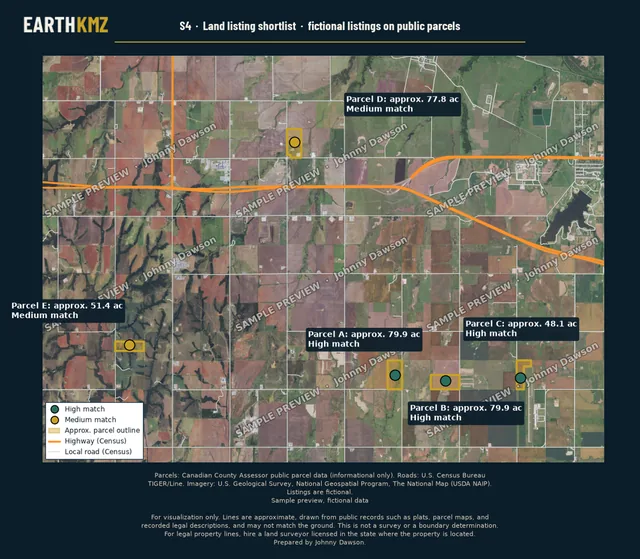
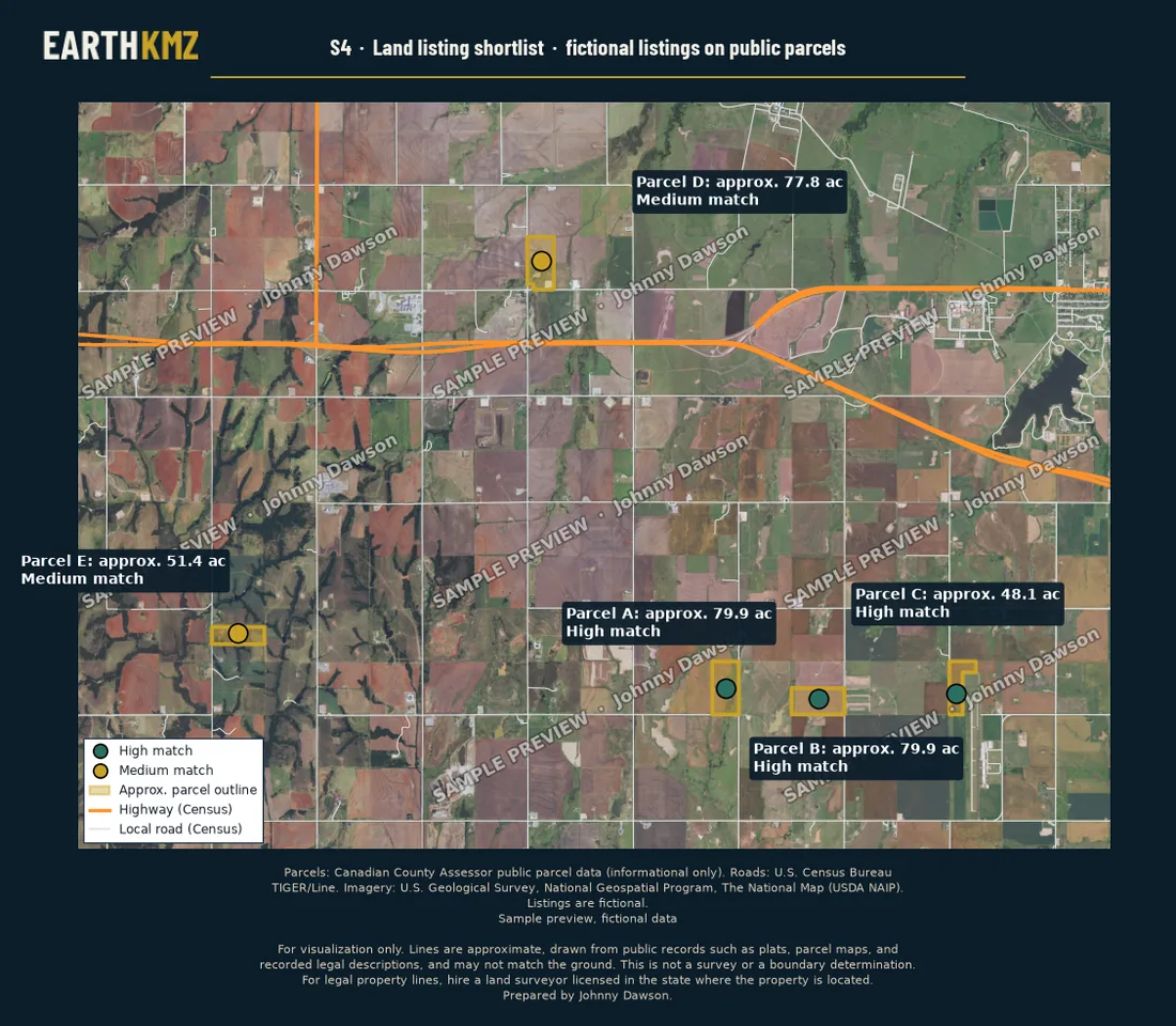
Five fictional listings with approximate acreage (not a survey figure) and match notes. Match notes are research notes, not a title, ownership, or boundary determination.
Parcels: Canadian County Assessor public parcel data (informational only). Imagery: U.S. Geological Survey, National Geospatial Program, The National Map (USDA NAIP). Roads: U.S. Census Bureau TIGER/Line.
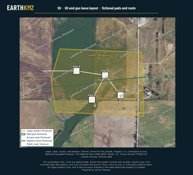
Fictional lease outline, well pads, access roads, and pipeline route.
Fictional lease, pads, and routes. Imagery: U.S. Geological Survey, National Geospatial Program, The National Map (USDA NAIP). Roads: U.S. Census Bureau TIGER/Line.
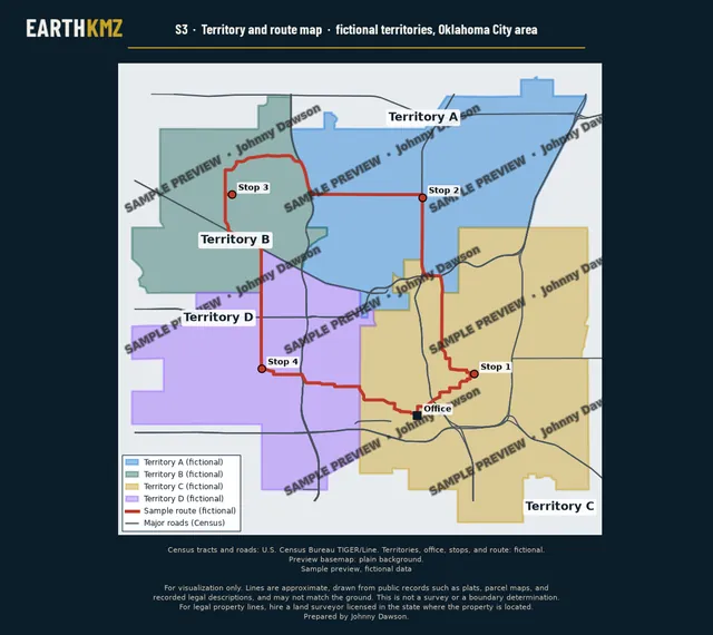
Four fictional sales territories built from whole Census tracts, with a sample route.
Census tracts and roads: U.S. Census Bureau TIGER/Line. Territories and route: fictional. Plain background.
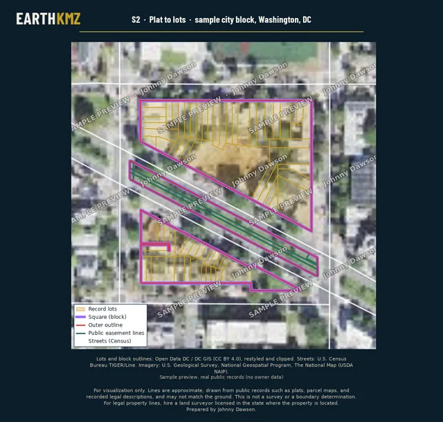
Record lots and block outlines for a sample city block in Washington, DC, in toggleable folders.
Lots and block outlines: Open Data DC / DC GIS (CC BY 4.0), restyled and clipped. Imagery: U.S. Geological Survey, National Geospatial Program, The National Map (USDA NAIP). Streets: U.S. Census Bureau TIGER/Line.
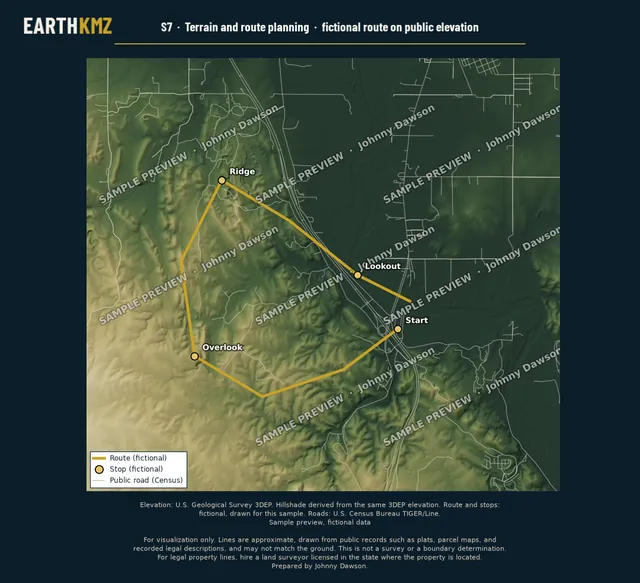
A fictional open route and stops (Start, Overlook, Ridge, Lookout) over shaded relief from public elevation data.
Elevation: U.S. Geological Survey 3DEP. Route and stops: fictional. Roads: U.S. Census Bureau TIGER/Line.
How it works
Plats, a tract list, a spreadsheet of addresses or coordinates, or an existing KML. Email what you have to request a quote, or hire through Upwork if you prefer a marketplace.
I compare the drawing against the plat, public PLSS section data, and imagery, and flag any spot where the source and the imagery disagree instead of guessing.
The KMZ plus source files, a read-me listing every source and access date, and revisions as set out in each quote.
Who I work with
About
I've spent 15 years with Google Earth Pro and have a background in property appraisal in Oklahoma. Reading plats and parcel maps is familiar work. EarthKMZ is how I turn that into clean, layered maps for clients.
FAQ
A KMZ (or KML) file that opens in Google Earth Pro on a computer, Google Earth on the web, and the Google Earth phone app. You also get the source files and a plain-English read-me.
Whatever you have: plat images, a tract list, a spreadsheet of addresses or coordinates, or an existing KML to clean up. If you're not sure, send what you have and I'll tell you what else would help.
No. These maps are for visualization and planning only. Please read the disclaimer below before relying on any line.
Each project is quoted before work starts, with the scope, price, delivery date, and revisions spelled out. Direct clients pay by Square invoice. Upwork remains an option if you prefer a marketplace.
Yes. Email is the main way to hire me, and Upwork remains an option if you prefer a marketplace.
No. The samples on this page are look-only preview images, and I don't offer free downloadable KMZ files. Finished KMZ files are delivered to the paying client. Owner names and contact information are never included.
Yes. I don't plot parcels from a legal description alone, and I decline fence, encroachment, easement-location, court, title, closing, and permit work.

The main way to hire me is by email. Write to quote@earthkmz.com with the area, the purpose of the map, and your deadline. I reply with a fixed quote. Upwork remains an option if you prefer a marketplace.
The area, the purpose of the map, and your deadline.
Scope, price, delivery date, and revisions, written out before work starts.
Payment by Square invoice.
The KMZ, source files, and a read-me listing every source.
For visualization only. Lines are approximate, drawn from public records such as plats, parcel maps, and recorded legal descriptions, and may not match the ground. This is not a survey or a boundary determination. For legal property lines, hire a land surveyor licensed in the state where the property is located.
Sample maps on this page are low-resolution preview images. Listings, routes, pads, territories, and lots labeled fictional were made up for illustration. Data sources are credited with each sample.